About this table about tfw files
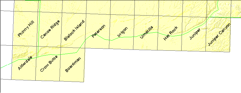
| USGS name | # quads | DNR# | name | file size |
|---|---|---|---|---|
| o45119h8 | 1 | 2541 | Phinny Hill | 2035188 |
| o45119h7 | 1 | 2542 | Canoe Ridge | 2111388 |
| o45119h6 | 1 | 2543 | Blalock Island | 3077779 |
| o45119h5 | 1 | 2544 | Paterson | 2455872 |
| o45119h4 | 1 | 2545 | Irrigon | 2421893 |
| o45119h3 | 1 | 2546 | Umatilla | 2911741 |
| o45119h2 | 1 | 2547 | Hat Rock | 2609263 |
| o45119h1 | 1 | 2548 | Juniper | 2665314 |
| o45118h8 | 1 | 2549 | Juniper Canyon | 3077114 |
| o45119g8 | 1 | 2641 | Alderdale | 2949994 |
| o45119g7 | 1 | 2642 | Crow Butte | 2283904 |
| o45119g6 | 1 | 2643 | Boardman | 2582323 |