About this table about tfw files
| USGS name | # quads | DNR# | name | file size |
|---|---|---|---|---|
| c46124a1 | 128 | - | (1°×2° quad) | 4770132 |
| f47124a1 | 32 | - | COPALIS BEACH (SE quarter) | 8630285 |
| f47124e1 | 32 | - | FORKS (NE quarter) | 8916039 |
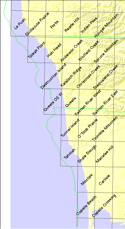
| o47124h6 | 1 | 903 | La Push | 3499596 |
| o47124h5 | 1 | 904 | Quillayute Prairie | 2066676 |
| o47124h4 | 1 | 905 | Forks | 1840602 |
| o47124h3 | 1 | 906 | Reade Hill | 2219883 |
| o47124h2 | 1 | 907 | Indian Pass | 2950588 |
| o47124h1 | 1 | 908 | Hunger Mountain | 3175194 |
| o47124g5 | 1 | 1004 | Toleak Point | 3502181 |
| o47124g4 | 1 | 1005 | Hoh Head | 2974236 |
| o47124g3 | 1 | 1006 | Anderson Creek | 1711600 |
| o47124g2 | 1 | 1007 | Winfield Creek | 2465714 |
| o47124g1 | 1 | 1008 | Spruce Mountain | 2950114 |
| o47124f4 | 1 | 1105 | Destruction Island | 3441784 |
| o47124f3 | 1 | 1106 | Kalaloch Ridge | 1986370 |
| o47124f2 | 1 | 1107 | Christmas Creek | 2608662 |
| o47124f1 | 1 | 1108 | Stequaleho Creek | 2903725 |
| o47124e3 | 1 | 1206 | Queets | 2381442 |
| o47124e2 | 1 | 1207 | Salmon River West | 1828132 |
| o47124e1 | 1 | 1208 | Salmon River East | 2158080 |
| o47124d3 | 1 | 1306 | Tunnel Island | 3191932 |
| o47124d2 | 1 | 1307 | O'Took Prairie | 2277734 |
| o47124d1 | 1 | 1308 | Thimble Mountain | 2006806 |
| o47124c3 | 1 | 1406 | Taholah | 3443401 |
| o47124c2 | 1 | 1407 | Shale Slough | 2312542 |
| o47124c1 | 1 | 1408 | Macafee Hill | 1539347 |
| o47124b2 | 1 | 1507 | Moclips | 2668120 |
| o47124b1 | 1 | 1508 | Carlisle | 1363250 |
| o47124a2 | 1 | 1607 | Copalis Beach | 4015471 |
| o47124a1 | 1 | 1608 | Copalis Crossing | 3163488 |